 |
| Click cloud chart for a larger view |
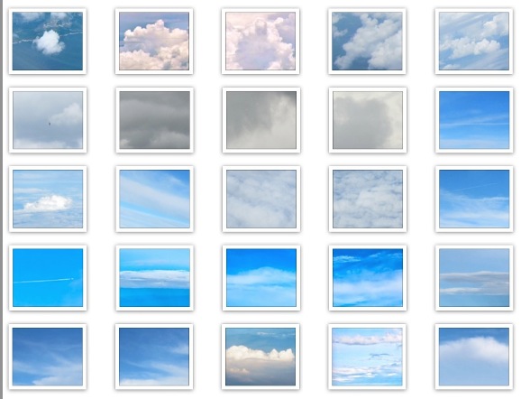
Do you think identifying clouds during manned Near Space flights will be a little different from Earth-based identifications? From the previous Near Space flights in July of 2013, seventy four cloud images are selected.
Use the handy miles to kilometers at-a-glace chart for simple and quick conversions.
Let's take a look at the chart of different cloud styles seen from Earth (shown above) and a sample of 74 clouds seen from the Near Space spacecraft (shown below).
 |
| The trip into Near Space resulted in images of every cloud type, including rain, fog, and contrails. These images show only a small selection of the many clouds recording during flight. |
 |
| The rows of these images are numbered from left to right. |
 Data shows that more than nine out of ten times, the craft is above all clouds at the apex of flight. We will select
a cross section of photos taken during ascent and descent, where the
craft can look down on clouds or out across the cloud population from
the "above vantage position." Selections were made with the TST Tiny
Space Telescope pointing down or obliquely.

